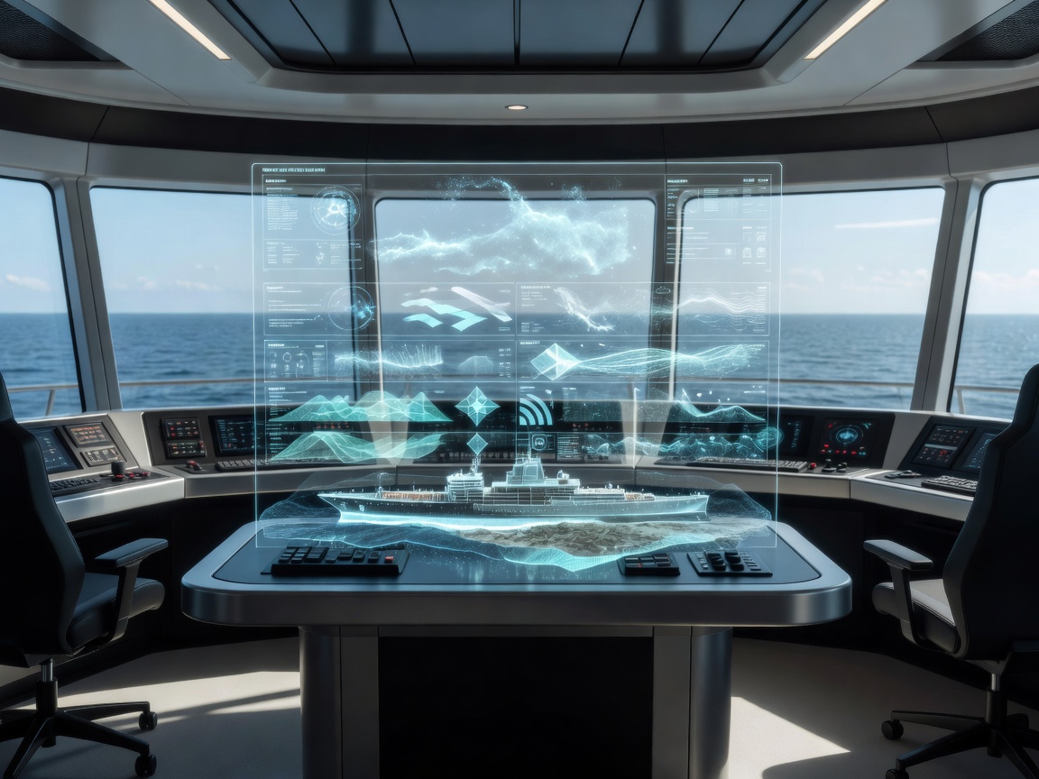
Situational awareness is the ability to build and maintain an understanding of what’s happening around a vessel and what it may mean for the operation. Intelligent software can help organize information, but an integrated display is only useful when its limits are visible.
From observation to operational understanding
It’s helpful to distinguish three layers. A raw observation is an input: a radar return, a camera image, a chart feature or an instrument value. Interpreted information adds a possible meaning, such as an estimated target track or an identified object. Operational understanding puts that information in context: where the vessel is going, what constraints apply, how current the observation is and what deserves attention now. Software can assist across these layers, but it cannot guarantee that the resulting picture is complete or correct.
A broader view may combine radar, AIS information, cameras, charts, onboard instruments and external data where available. Each source answers different questions. A chart provides navigational context, not necessarily the latest local condition. AIS can offer reported details for transmitting vessels but does not reveal every vessel, floating object or hazard. Instruments can describe aspects of the own vessel, subject to their installation and status. External information may add useful context but brings dependencies on availability and update timing.
Different inputs, different blind spots
| Information source | Potential contribution | Limitations to consider |
|---|---|---|
| Radar | Observed returns and possible target movement. | Clutter, range, settings, occlusion and conditions shape what appears. |
| AIS | Reported identity and navigation information from transmitting vessels. | Coverage is incomplete; reports can be stale, incorrect or absent. |
| Cameras | Visual context and details for objects within a usable field of view. | Visibility, lighting, line of sight, spray and image quality affect usefulness. |
| Charts | Geographic and navigational reference information. | Currency and intended use matter; charts aren’t a live view of all conditions. |
| Onboard instruments | Context about own-ship movement or equipment state. | Accuracy, calibration, integration and equipment availability vary. |
| External information | May add environmental or operational context. | Source, freshness, communication and uncertainty need to be clear. |
The promise—and puzzle—of sensor fusion
Sensor fusion means combining observations from multiple sources. A system may try to associate radar and AIS reports with the same vessel, maintain tracks over time, or reconcile observations with chart context. In principle, this can make the display more coherent and reduce the need to switch between separate views.
Association is not always straightforward. Similar observations may be different objects; a reported identity may not line up with a radar return; one source may update more slowly than another. Confidence levels can help communicate how certain an interpretation is, but only if people understand what those levels mean. A display should distinguish observed data from derived estimates, show when information was last refreshed where that matters, and indicate whether relevant sensors are unavailable or have limited coverage.
There’s also a human-factors challenge: more information isn’t automatically better information. A crowded bridge display can bury what matters, while aggressive filtering may hide context someone needs. Useful interfaces give a clear hierarchy, allow appropriate inspection of detail and avoid turning uncertainty into a crisp icon that looks like fact. Operators should be able to understand the source and status of a suggestion without having to reverse-engineer the software.
Benefits, limitations and evaluation
An integrated awareness system can help reduce the friction of comparing several information sources and may make changes easier to notice. It can also create new dependencies: equipment integration, data associations, network links and interface configuration all need care. A sensor fault or incorrect input can contaminate a combined picture. If a system fails quietly, its polished display may look complete when it is not.
Evaluate interoperability with existing bridge equipment, how conflicting or missing inputs are represented, whether data freshness is visible and how sensor coverage is described. Ask what the system does when equipment is unavailable, what users can inspect behind an interpreted symbol, and whether alerts compete with other important information. Test the interface with realistic scenarios and with the people who will use it, including degraded-data conditions rather than only ideal demonstrations.
Training matters because users need to know the difference between an observation, a track and an inferred interpretation. They also need to understand what confidence or freshness cues do—and don’t—mean. Qualified operators should assess automated suggestions alongside the wider situation, current nautical information, vessel procedures and applicable requirements. An AI-generated summary may be helpful; it isn’t the surroundings themselves.
Continue to obstacle detection and collision awareness for the detection-specific questions, or navigation decision support for how an interpreted picture can inform options.
This material is general and educational. It does not provide live vessel awareness, traffic monitoring or operational navigation guidance.