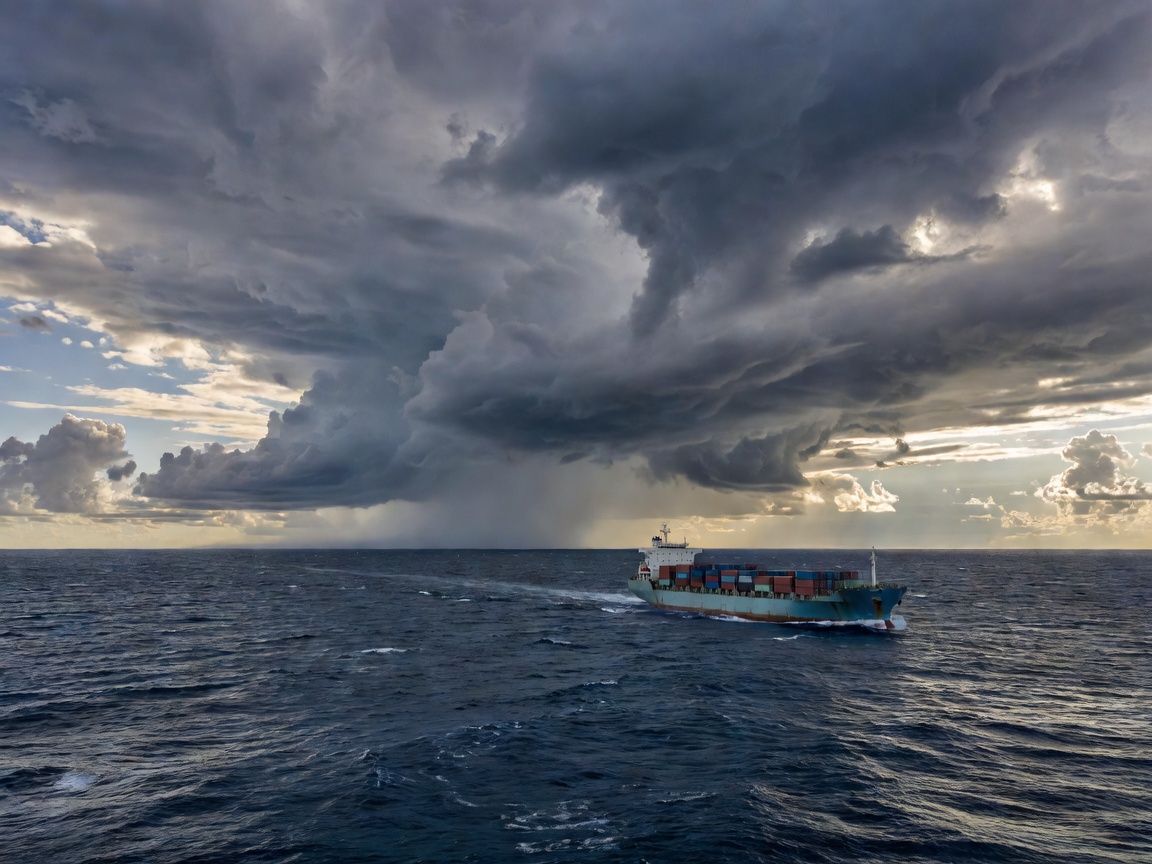
Weather-aware navigation is about bringing environmental conditions into planning and review—not merely placing a forecast layer on a screen. The useful question is how those conditions interact with a particular vessel, voyage and set of operating priorities.
More than displaying forecast data
A forecast display presents information about expected conditions. A route-planning tool may go further by comparing how alternative tracks intersect with forecast wind, waves or currents over time. AI-assisted tools can help examine combinations of route, timing and vessel context, or estimate how different scenarios may affect a voyage. Which functions are available depends on the product, the data supplied and its configuration.
Vessel characteristics matter. Size, design, loading, operating limits and motion response can influence how environmental conditions are assessed. The same conditions may have different operational relevance for different vessels. Voyage priorities matter too: arrival timing, fuel planning, comfort and operational constraints may pull a decision in different directions. A system that gives a single blended score without showing what it values can make those trade-offs hard to see.
Common environmental inputs and planning relevance
| Input | Possible planning relevance | Questions to ask |
|---|---|---|
| Wind | May affect vessel handling, progress and exposure. | What source, time period and uncertainty are shown? |
| Waves and swell | May matter to vessel motion, comfort and operating limits. | How does the tool represent vessel-specific response? |
| Currents | May influence estimated progress and route comparisons. | Are values forecast or observed, and how fresh are they? |
| Visibility | May be relevant to operating context and route review. | Is the information suitable for the area and decision? |
| Storm-related conditions | Can inform assessment of exposure and alternatives. | How are changing scenarios and uncertainty communicated? |
These are planning inputs, not universal thresholds or instructions. Their meaning depends on equipment, data source, vessel particulars, applicable procedures and the people interpreting the information.
Forecasts, observations and trade-offs
A forecast is an estimate of future conditions. An observation describes conditions measured or reported at a particular time and place. Neither is a perfect picture of what a vessel will experience along an entire route. Forecasts change as new information arrives, and their usefulness can vary with location, time horizon, model and input data. An attractive map can conceal those differences unless the source, timestamp and uncertainty are easy to find.
Weather-aware route comparisons may consider estimated voyage duration, fuel-related factors, comfort, operational constraints and exposure to environmental conditions. A route that appears favorable for one objective may be less suitable for another. Longer alternatives aren’t automatically better; shorter ones aren’t automatically preferable. The important thing is to make the assumptions and competing priorities visible, so a qualified operator can judge whether a recommendation fits the voyage.
Changing conditions may require a plan to be revisited. A robust workflow can help compare alternatives when updated data or changed priorities warrant another look. It should also make clear when inputs are old, incomplete or unavailable. If the system cannot assess an important factor, that limitation should be apparent rather than silently filled with a confident guess.
A suggested route is not a safety verdict
AI may help process scenarios or highlight a route worth reviewing, but a suggested route is not automatically safe. Models can be wrong; inputs can be stale or unsuitable; vessel characteristics may be misrepresented; and a system may optimize priorities that don’t match the real operational context. Operational limits, current nautical information, vessel procedures and professional judgment remain essential.
When evaluating a tool, ask which environmental sources it uses, how frequently data are updated, how forecasts are distinguished from observations, and whether uncertainty can be inspected. Find out which vessel characteristics are required and how missing particulars are handled. Check whether alternative routes show the reasons for their differences and whether users can see constraints that were applied.
Test across representative scenarios, including changed forecasts, incomplete inputs, different voyage priorities and conditions that require a cautious review. Assess integration with existing planning processes, training needs and what happens when information feeds are interrupted. Consider maintenance, cybersecurity and responsibility for configuring vessel-specific assumptions. Involve the people who will work with the recommendations: a technically elegant output that doesn’t fit the bridge workflow won’t be much help.
Weather-aware tools can make environmental information easier to compare and may support more structured scenario review. Their value depends on fit, data quality and thoughtful human use. For how route optimization handles objectives and constraints, read intelligent route planning; for a wider view of recommendations and oversight, see navigation decision support.
This educational guide contains no live forecasts or route advice. Follow vessel procedures and rely on suitable current information and qualified maritime judgment.